This article examine a key roadway in Newmarket: Davis Drive, formerly Huron Street and also known as the Town Line.
In February 1946, a municipal bylaw renamed Huron Street to Davis Drive in honour of the Davis family and their establishment of the Davis Tannery and their political involvement for three generations.
While I have examined Davis Drive in past columns, I primarily focused on its role as Highway 9 and I want to take a closer look at the section from Yonge Street to Leslie Street and the role the street has played in our history.
When the Yonge Street survey was initially instituted by Lt.-Gov. John Graves Simcoe in 1796, the townships of York County were defined and a road allowance of 66 feet (one chain) from east to west was set out to separate them. The division between the townships of Whitchurch and East Gwillimbury, extending into King Township, was made between lots 95 and 96.
The land was cleared and farms were developed, but the roads were barely passable for more than 50 years, until the railway was constructed through Newmarket in 1853. Both merchants and farmers recognized the commercial advantages to be gained by having the means to bring produce into the rail centre from outlying districts.
A railway depot was established on the south side of the township line, and it immediately became the focus for the growth of the small community. In 1854, George Lount, a surveyor and brother of the infamous Samuel Lount, acquired a portion of Lot 95 east and west of Main Street and divided it into streets with lots for housing and commercial use on the east.
The streets were named after the great waterways of the province: Superior, Ontario, Simcoe, Niagara, Erie (never opened) and Huron Street, which served as the township line. Main was then extended from Ontario Street north to Huron with a width of 66 feet. Erie was planned to run where the Newmarket Seniors’ Meeting Place is now located.
The area north of Ontario Street came to be known as Paddytown due to the influx of Irish refugees after the 1847 potato famine in Ireland. They would gather around the Roman Catholic parish that was founded in 1840.
In 1854, George Lount built the Eagle hotel, which faced Superior Street, to accommodate the railroad travellers and, in 1912, it was turned into a boarding house for the workers for the ill-fated Newmarket Canal. The Davis brothers, owners of the Davis Leather Tannery, purchased the adjoining lot facing Huron and, in 1962, built a small office building that was replaced in 1980 by the current House of York dining lounge. The Eagle hotel was torn down in 1927.
The arrival of the railroad provided the impetus to incorporate the growing community to village status. Newmarket was then a small hamlet of about 550 people under the jurisdiction of Whitchurch Township. The act of incorporation took effect Jan. 1, 1858, and the north boundary of the new village was Huron. This limit remained until Jan. 1, 1971, when a regional government was introduced, and the north side of Huron was annexed.
A station house was built on the east side of the tracks and freight sheds on the west side. In 1900, a new rail station was erected along with a new freight shed and loading platform. It is interesting that until April 1980, there were no protective gates at the street crossing. The freight sheds were demolished at that time.
The last steam engine made its final run in July 1980 and the station was closed. In October 1981, the last stationmaster departed. The main line continued for transcontinental service until Sept. 26, 1996, replaced by commuter train service starting in March 1974 using the train station. The GO loading platform and ticketing wicket moved into the newly renovated Davis Tannery Centre in August 1988.
A steam-powered grist mill had been built in 1876 on the north side of Huron Street, replacing an earlier mill built in 1856 and destroyed by fire. The mill had a railway siding for direct shipping of flour to city markets. It was damaged by fire June 5, 1937, and after having been used for various other purposes, it was finally torn down April 7, 1987.
North of Huron on the east side of the railway were coal bunkers built in 1905 to store about 250 tons of anthracite from Pennsylvania. In turn, the fuel was delivered by horse and wagon to houses in town, where it was stored in cellars. The coal sheds were removed in June 1969 after having remained empty for a few years once oil heating came into general use.
From the very beginning, crossing the river was a constant problem. The gap was spanned by a wooden bridge that was often damaged or destroyed by spring freshets or floods. A sudden cloudburst on Sept. 15, 1878, washed out all 10 bridges in the village. In October 1892, a new iron bridge was erected on Huron. It was 750 feet long and 16 feet wide with trusses 8.6 feet high and had decking of four-inch planks. The carrying capacity was pegged at 30 tons.
A year later, similar iron bridges were built at Queen Street and at Water Street. In 1918, the iron bridge on Huron Street was replaced by a reinforced concrete structure with a centre span of 31 feet, with end approaches of 17 feet. The width was 29 feet for two lanes of traffic and a walkway on the south side with four-foot-high concrete balustrades. It was named the Keith Bridge after William Keith, who was the reeve of the town at that time.
In 1957, it was widened with walkways on both sides and, in 1965, it was replaced by a redesigned concrete span to carry four lanes of traffic, and again, in 1988, it was reconstructed to accommodate the increased volume of traffic resulting from the linking with the new Highway 404.
Those who read my column or took my heritage walk will remember that directly north of the bridge, a turning basin for the terminus of the Newmarket Canal system had been built in 1911. It was enclosed between thick concrete walls, and sluices had been built at the river entrance along the edge of Huron Street. When the basin was dredged, the earth that had been removed was used as the embankment for the trestle bridge built in 1906 for the Metropolitan Electric Railway, running northeast Jackson’s Point.
The basin was eventually filled in and used as a parking space for the Davis Leather Co. employees in 1952. The embankment at the river course was rebuilt and reinforced in 1991 by the Lake Simcoe Region Conservation Authority.
In 1874, William Cane & Sons had located their woodworking enterprise in Newmarket, the incentive being the railway for the shipment of their products. They built a long, two-storey brick factory along the north side of Huron extending west from Bayview Avenue and placed their sawmill and lumber yard along the south side. The factory remained until 1991, when it was demolished and replaced by a medical office building.
A pumping station had been built at the Waterworks beside Fairy Pond in 1887 and water mains were laid along Main to Huron and along Huron west to Prospect. The real objective was to provide hydrants and water supply for fire protection for the Cane complex. Huron remained a gravel road until after the sewers were installed in 1922, and then it was paved from Main to Prospect. In 1938, it was hard-surfaced from Main to Yonge.
Prior to 1950, the north side of Davis consisted of a 100-acre farm extending from Yonge to the western edge of the town boundary, and on the south side were smaller lots of about five to 10 acres each with a house and barn for a horse and a cow. These faced Davis from Yonge to what is now Lorne Avenue. This was all annexed in March 1951.
On the east side of town, it was all farmland on both sides of Davis from the present Patterson Avenue/Roxborough Road area to Leslie Street (the eastern boundary). The south side was annexed in January 1960 for a new housing development. The north side remained part of the Township of East Gwillimbury until Jan. 1, 1971.
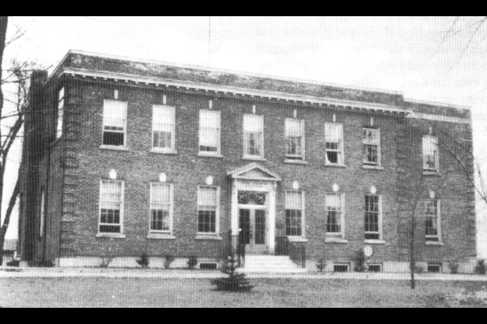
As mentioned above, individual properties on Davis Drive have been examined in previous columns published on NewmarketToday. You can find articles on the York County Hospital, the Cane factory, the Davis Leather Tannery, the Newmarket Plaza, Huron Heights Secondary School, and other sites along Davis Drive. I also wrote a column on the extension of Davis Drive to the east and west of Newmarket, where it becomes Highway 9.
Sources: Newmarket Progress by the Pioneers — Development by Evolution –— A heritage article by George W. Luesby; Newmarket Era articles; articles Published on NewmarketToday — Remember This by Richard MacLeod; The History of Newmarket by Ethel Trewhella.
Newmarket resident Richard MacLeod, the History Hound, has been a local historian for more than 40 years. He writes a weekly feature about our town’s history in partnership with NewmarketToday, conducts heritage lectures and walking tours of local interest, and leads local oral history interviews.


