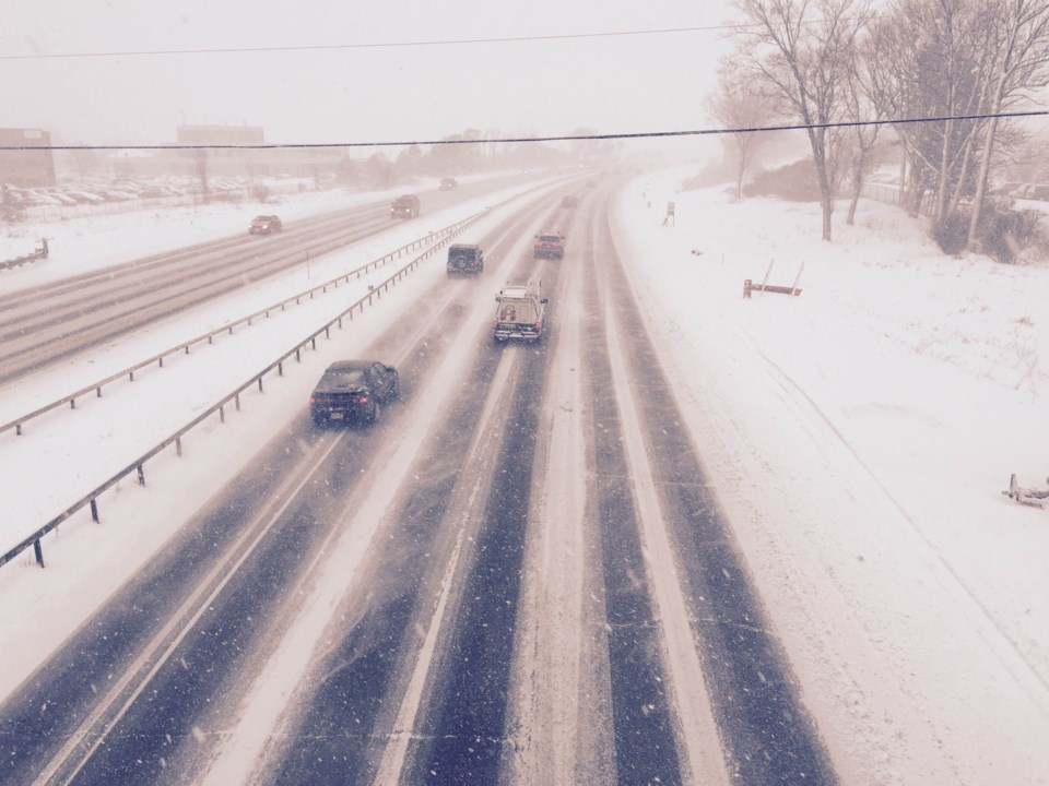
What’s on tap, Newmarket? Well, rest assured it’s going to be cold!
A special weather statement issued at 3:19 p.m. today from Environment Canada warns that snow is on tap for all of Wednesday beginning in the morning and continuing into the evening before tapering off.
Northern York Region, including Newmarket and Georgina, could see 10 centimetres of snow fall by Wednesday evening, making for a slushy and slow commute.
Many areas will receive near 10 centimetres of snow by Wednesday evening. Locally, higher amounts up to 15 cm are possible over a few locales, especially near Lake Erie and Lake Ontario.
The heaviest snow will fall Wednesday afternoon, resulting in a significant impact on the commute home late in the day. Untreated roads may become snow covered and slippery and drivers should allow extra time to reach their destination.
This snow event comes from yet another in a series of low-pressure systems which have formed over the Southern Plains States. This latest low will pass by just to the south of lakes Erie and Ontario on Wednesday.
This special weather statement is in effect for:
-
Newmarket - Georgina - Northern York Region
-
Pickering - Oshawa - Southern Durham Region
-
Uxbridge - Beaverton - Northern Durham Region
Please continue to monitor alerts and forecasts issued by Environment Canada.
To report severe weather, send an email to [email protected] or tweet reports using the hashtag #ONStorm.


