WEATHER ALERT
ENVIRONMENT CANADA
***************************
Winter storm warning in effect for:
- Newmarket - Georgina - Northern York Region
- Uxbridge - Beaverton - Northern Durham Region
- Vaughan - Richmond Hill - Markham
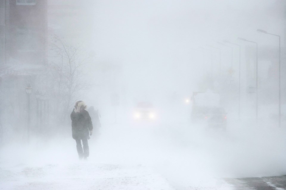
Winter storm expected Wednesday.
Hazards:
Snow and ice pellets, with total amounts near 15 cm. Accumulations may be lower in areas that experience a greater period of mixing with ice pellets and freezing rain.
Risk of freezing rain. Light ice accretion is possible.
Timing:
Late Wednesday afternoon to early Thursday morning.
Discussion:
Light snow will become heavy at times late Wednesday afternoon. Snow may mix with ice pellets and freezing rain Wednesday night. The wintry mix will taper off early Thursday morning to a risk of patchy freezing drizzle.
Another wintry mix of precipitation is possible Thursday afternoon into Thursday evening.
Surfaces such as highways, roads, walkways and parking lots may become difficult to navigate due to accumulating snow. Take extra care when walking or driving in affected areas. There may be a significant impact on rush hour traffic in urban areas. If visibility is reduced while driving, slow down, watch for tail lights ahead and be prepared to stop. Public Safety Canada encourages everyone to make an emergency plan and get an emergency kit with drinking water, food, medicine, a first-aid kit and a flashlight. For information on emergency plans and kits go to getprepared.gc.ca.
Please continue to monitor alerts and forecasts issued by Environment Canada. To report severe weather, send an email to [email protected] or tweet reports using #ONStorm.
***************************


