WEATHER ALERT
ENVIRONMENT CANADA
*********************************
Special weather statement in effect for:
• Newmarket - Georgina - Northern York Region
• Pickering - Oshawa - Southern Durham Region
• Uxbridge - Beaverton - Northern Durham Region
• Vaughan - Richmond Hill - Markham
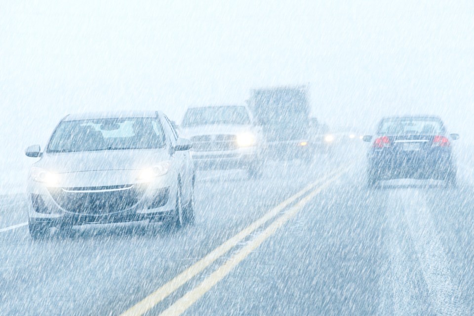
Heavy snow and blowing snow Thursday afternoon through Thursday night.
Hazards:
Total snowfall amounts of 10 to 15 cm by Friday morning. Local amounts up to 20 cm will be possible over the higher terrain north of Lake Ontario. Reduced visibility in heavy snow and blowing snow.
Timing:
Thursday afternoon through Thursday night.
Impacts:
Hazardous travel conditions due to heavy snow and blowing snow, including for the Thursday evening commute. Consider postponing non-essential travel until conditions improve.
Discussion:
A strong low pressure system is expected to affect southern Ontario later this week. Snow is expected to begin over the area Thursday afternoon and become heavy at times Thursday evening. Total snowfall amounts of 10 to 15 cm are expected, with snowfall amounts exceeding 15 cm possible over the higher terrain north of Lake Ontario. Lesser snowfall amounts are forecast near the immediate shoreline of Lake Ontario where snow may transition to rain.
Please continue to monitor alerts and forecasts issued by Environment Canada. To report severe weather, send an email to [email protected] or tweet reports using #ONStorm.
*********************************


