You are probably quite familiar with the nine cities and towns that make up present-day York Region, however, when we to go back in time, we find that the region was home to dozens of small hamlets, some of which still exist as close-knit rural communities, while others have virtually disappeared.
As I embark on this series of articles, I hope to revisit some of these hamlets spread throughout the former townships of King, Whitchurch and East Gwillimbury and provide you with a brief overview of their establishment and, when possible, what they eventually transitioned into today. Hopefully this series will prompt you to seek out these long-forgotten centres of population and commerce and discover more of the history within their boundaries.
It is probably prudent to begin the series with a definition of what exactly constitutes a ‘hamlet’. A hamlet is a small human settlement typically situated in a rural location. It typically has no central place of worship (i.e. a church) and no central meeting point for its residents (i.e. a village hall).
You will recall in my article on the incorporation of Newmarket as a village in 1857, I spoke of how the lack of these two features differentiates a hamlet from a village. Prior to 1857, Newmarket did not meet the criteria for incorporation as a village.
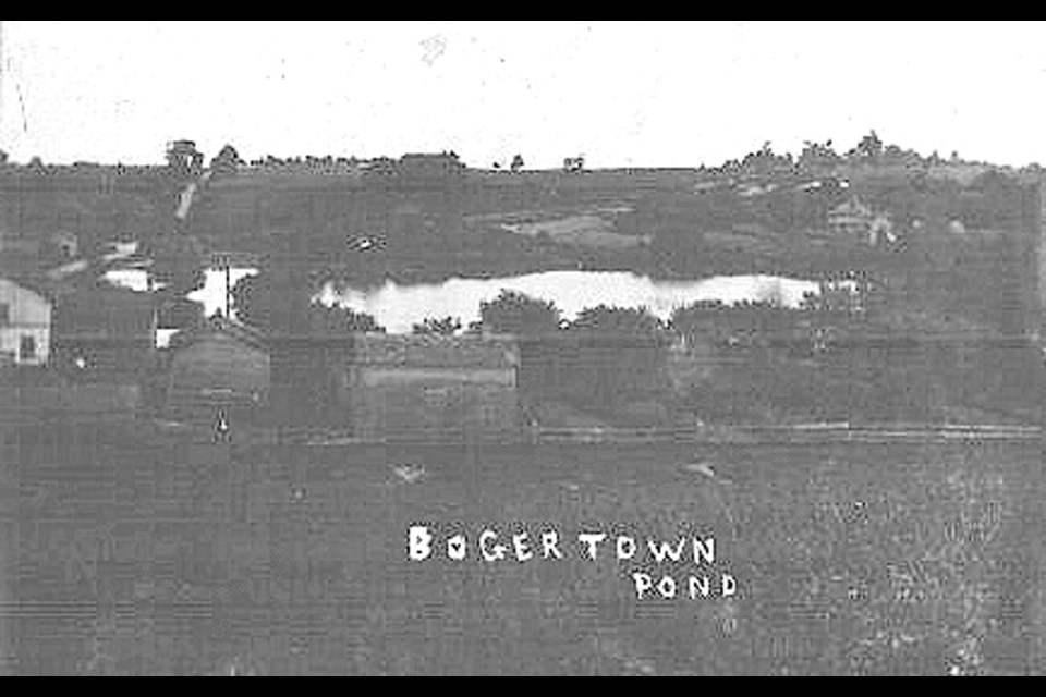
Hamlets can also constitute a secondary settlement within a larger population unit, a satellite entity. In the case of Newmarket, we have two perfect examples in the hamlets of Bogarttown and Armitage, both eventually were incorporated into the Town of Newmarket.
Traditionally, hamlets developed around some form of amenity or trade that supported its working population, such as a farm or a mill. A hamlet may well be the size of a town or a village but usually it is smaller and constitutes a subdivision or satellite of a larger settlement.
A hamlet usually contained at least five homes and 10 subdivided lots and had its own post office. Hamlets generally had no formal boundaries and were not recognized as municipal entities.
In this first article in the series, I shall examine the hamlets that were part of Whitchurch Township.
Over the course of this series, you may find that many of the hamlets I will cover may be familiar to you, while others may have disappeared completely long before your time. Many can often still be identified by a particular building, usually a church, or are commemorated in a road name such as Bloomington Sideroad.
We will start our tour with the former community of Lemonville. Located on McCowan Road just south of Bloomington Sideroad near Stouffville, it takes its name from George Lemon, who obtained a land grant around 1805. Lemonville grew into a vibrant community consisting of hotels and mills, only to see its growth stall in the 1870s. Today, you can still visit a church built in 1856 and a former schoolhouse built in 1922 replacing the hamlet's original school. A post office was established locally in 1852 and was closed in 1937. We will find that the closing of the post office signalled the death of the community.
The hamlet of Ballantrae was settled in the early 1800s, becoming a bustling economic centre for the surrounding lumber trade. It had several hotels, blacksmiths, general stores, the Mayflower Stamping Company (to mark barrels and other containers), a shoemaker and four or five sawmills. It is said that Willie Anderson, the first teacher who taught in the one-room log schoolhouse on Lakeshore Road, named the hamlet Ballantrae in honour of his Scottish heritage. A post office opened in 1858, serving the people of this community right up until 1949.
The hamlet of Bethesda was clustered around the four corners of Warden Avenue and Bethesda Road. Bethesda was known for the many outdoor religious camp meetings held by the local Mennonite and Methodist communities. The Bethesda and Stouffville Telephone Association operated here from 1904 to 1960, until Bell Telephone purchased it. Bethesda had a functioning post office from 1874 to 1924.
The hamlet of Bloomington is still commemorated by the name of the road that serves the area. Bloomington was located at the intersection of Bloomington Road and the Ninth Line. It was named by Maxson Jones in 1869 after his hometown in Illinois. Jones, a storekeeper, was the community’s second postmaster and a magistrate. The nearby lumber industry spurred its growth. Woodworking shops, blacksmith shops, weavers, a gristmill, watch repair shop, photography studio, and a general store were among the many businesses there. A brick school constructed in 1898, replacing the 1826 wood frame school, still stands but it is now a private residence. The Bloomington Christian Church was built in 1852. A post office served the citizens from 1863 to 1920.
Sawmills and gristmills were a couple of the early industries in the community of Cedar Valley, operating with power generated from Taylor Creek. The community is located at the intersection of the Vivian Road and Kennedy Road. It welcomed the Canadian National Railway’s Grand Trunk line in 1905 and served as a shipping point for agricultural produce from nearby Pine Orchard. A post office was established in 1908.
A community's naming can often have a simple explanation. A hillside church on the old Hill family farm appears to be the origin of the name Churchill. William Hill arrived in the area around the Ninth Line and Aurora Road in about 1812 from Ireland. Generations of his family would live on this farm until around 1920. The Churchill Christian Church, built in 1872, was the mainstay of the community. A Methodist Church had also been built in the area in 1864 but it was demolished in 1900.
Another hamlet named after a prominent citizen was Gormley. It was named after James Gormley who ran a general store and post office at Stouffville Road and Woodbine Avenue. He came to the area in the 1840s and was a teacher, auctioneer, notary public, postmaster and storekeeper. The Gormley post office was established in 1851 and is still active today.
A reoccurring theme in the demise of several former communities was the dramatic impacted brought about by 19th and 20th century transportation developments. Early railroads bypassed Gormley in favour of other communities, while the James Bay Railroad (built in 1905) shifted the business centre west toward Leslie Street and created a new neighbourhood know as New Gormley.
The construction of Highway 404 would split the community in two. The re-alignment of Woodbine Avenue during the 1980s bypassed the original thoroughfare of Gormley (now Union Street) so today the original heart of the community is just an isolated pocket.
Primarily a farming community, Hartman was named after Joseph H. Hartman of Petchville, a well-respected figure in that community. Hartman, despite being the namesake, never lived in the Davis Drive and Ninth Line community. A post office was established in 1863 and closed in 1884.
The community of Lincolnville was located at the corner of the Bloomington Road and Highway 47, straddling the border between Uxbridge and Whitchurch townships. The tall pines in the area were felled and transported by horse and wagon down Tenth Line (also known as Mast Road). By the 1870s, there were two water-powered sawmills, a Methodist Church, hotel, and basket factory. Later, gravel pits opened that are still operating today. In 2011, the terminus for the Stouffville GO Transit train line was named after this hamlet. It is expected that Lincolnville will continue to grow over the next few years due to the hamlet’s proximity to Stouffville, as well as the newly expanded GO Station currently being constructed by Metrolinx.
I have been visiting the next community since I was a child. The community of Musselman’s Lake acquired its name from the Musselman family who bought land surrounding the kettle lake in 1807. Peter and Jacob Musselman came from Pennsylvania and settled on the west side of the lake. The lake is situated between Highway 48 and the Ninth Line and the Bloomington and Aurora Roads. A log schoolhouse was built in 1848 and was also used for church services on Sundays. In the mid-19th century, the lake provided the power for a steam driven sawmill owned by Charles Appleton.
The area was such a popular summer resort during the late 19th century up to the 1950s that so many services, including Sunday worship and the post office (1933-1969) were seasonal. Cedar Beach Park, on the north side of the lake, became an entertainment hot spot when George Davies Sr. built a pavilion there in 1929. Glendale Beach, on the south side, was home to one of the largest dance halls in the county until it was demolished in 1990.
Another community that became a destination for me over the years is Pine Orchard, a community on Warden Avenue and the Vivian Road. Pine Orchard was settled in 1802 by several Quaker families who emigrated north from Pennsylvania. In 1814, the first meeting house was built, and a cemetery established on land sectioned off from Samuel Lundy’s property.
Lundy was a distant relative of mine and so I grew up hearing the story of how an abundance of pine trees had prompted the community to be named Pine Orchard. A post office was established in 1853 and closed in 1914. By 1860, Pine Orchard was a thriving community with three sawmills in the area and a school. By 1880, Pine Orchard boasted a cheese factory, blacksmiths shops, a shoemaker, wheelwright, fledgling honey and maple syrup industry, and library.
The community of Pleasantville was initially named Pleasant Valley, and was, like Pine Orchard, originally settled by Quaker families, including the Widdifields, Tooles, Willsons, Lundys and Starrs. The large property on the northeast corner of Woodbine Avenue and the Vivian Road was known as Pleasant House or Pleasantville Corner. Back in the 1890s, William Widdifield operated a blacksmith shop there. A post office was opened in Pleasant House in 1908 and remained until 1914. As was the case for many of the small hamlets I am profiling, this community’s growth was greatly affected by Woodbine Avenue’s development into a highway in the 1940s.
Another community that I used to visit in my youth was Preston Lake, originally known as Reesor Lake and then as Middleton Lake at the turn of the 20th century. However, the area was ultimately named after the Preston family who owned the property around 1900. George and Annie Preston operated a summer tourist resort around the lake on the northeast corner of Woodbine and Bloomington. Many of you may remember this community for its many dance halls. Sadly, the last being in the late 1950s.
In 1955, the Group of Seven artist, A.J. Casson would paint the Hennessey Homestead which, although it no longer resembles the Casson painting, still stands opposite Abbotsford Road. The painting is called Farm Near Vandorf.
A community a little closer to home is the small hamlet of Shrubmount, at the intersection of Davis Drive and McCowan Road. Although I was unable to determine the origin of the name, one possibility I have gleaned is that the name comes from the shrub, a sweet liquor, that was served to patrons at a nearby hotel on the northwest corner of Davis and McCowan. A post office served the community from 1884 to 1888 and again from 1890 to 1892.
I would imagine that most of you know the community of Vandorf, whether you pass through it on your way to work or perhaps biked there as a child. Originally known as Brookvale, the community situated at the Vandorf Sideroad and Woodbine Avenue had to be renamed in 1887 when the post office was opened, as it was discovered that the name Brookvale was already in use. The name Vandorf, is a compilation of “Van” for the Van Nostrands who operated a prosperous sawmill in the area, and “dorf” which means “village. A woodworking shop, blacksmith shop, general store and school were also located in the hamlet by this time.
In 1905, the James Bay Railway, now part of Canadian National Railways, was constructed through the area. The Vandorf railway station had an agent-telegrapher for many years before it closed and was demolished in 1967. A post office was opened here in 1887 and was closed in 1931. You can visit the Vandorf Public School, constructed in 1870, at the Whitchurch-Stouffville Museum.
As we come to the end of this first article in our series, we end with an examination of two communities that most of us have visited, Vivian and Wesley Corners. The community of Vivian was originally known as Sexsmith’s Corners after George Sexsmith, who operated a general store and inn. He was also the first postmaster. The community was an important lumber area known for its white pine forests.
The McCormick family arrived in 1866 and was important to this development, as they owned a sawmill, shingle factory, general store, blacksmith shop and maple sugar bush. Vivian became the hamlet’s official name with the opening of a post office in 1866. The post office closed in 1924. By 1900, the local timber industry had become a victim of its own success as the great pine forests had been destroyed, the area looking like a desert by 1920.
The community of Wesley Corners, at the crossroads of Woodbine Avenue and Aurora Road, was originally called Hacking’s Corners after Rev. James Hacking, a Congregational preacher who settled in the area around 1817. Hacking would move with his family to Peel County, but his son, John, stayed on the farm and later opened a small store to supply the basic needs of residents. A Methodist church was built in 1881, replacing the former log chapel known as Petch’s Chapel. The new church was named in honour of Rev. John Wesley, founder of the Methodist movement, and the area would soon come to be known as Wesley Corners.
In my next instalment, I will pick up in Whitchurch with more hamlets and their stories.
Sources: Back in time: Exploring York Region’s historical hamlets – An Article by Adam Martin-Robbins; Self-guided driving tour: Hamlets of Whitchurch-Stouffville; Materials from the Whitchurch Stouffville Museum; The Hamlets of Whitchurch Website; The Hamlets – Everything Stouffville Website (Selected Photos); What's in a name? How York Region communities got their monikers – An Article by Ali Raza
Newmarket resident Richard MacLeod — the History Hound — has been a local historian for more than 40 years. He writes a weekly feature about our town's history in partnership with Newmarket Today, conducts heritage lectures and walking tours of local interest, and leads local oral history interviews.


