WEATHER ALERT
ENVIRONMENT CANADA
*************************
Snow squall watch in effect for:
- Newmarket - Georgina - Northern York Region
- Uxbridge - Beaverton - Northern Durham Region
Snow squalls possible late this afternoon into Thursday morning.
Lake effect snow, at times heavy, is expected through the day today with local snowfall accumulations of 5 cm possible by this evening.
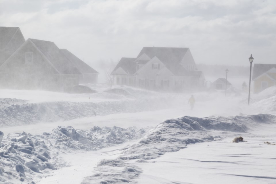
As colder air moves over Georgian Bay late in the afternoon or evening, more intense snow squalls will develop tonight. Snowfall accumulation up to 15 cm will be possible by Thursday morning in the heaviest snow squalls. Gusty northwest winds will also lead to local blowing snow with these snow squalls.
The snow squalls will begin to weaken Thursday morning, with additional accumulations of 5 cm possible by Thursday afternoon.
Snow squalls cause weather conditions to vary considerably; changes from clear skies to heavy snow within just a few kilometres are common. Travel may be hazardous due to sudden changes in the weather. Surfaces such as highways, roads, walkways and parking lots may become difficult to navigate due to accumulating snow.
Please continue to monitor alerts and forecasts issued by Environment Canada. To report severe weather, send an email to [email protected] or tweet reports using #ONStorm.
*************************


