ENVIRONMENT CANADA
*****************
Special weather statement in effect for:
- Newmarket - Georgina - Northern York Region
- Uxbridge - Beaverton - Northern Durham Region
Significant snowfall amounts expected Saturday.
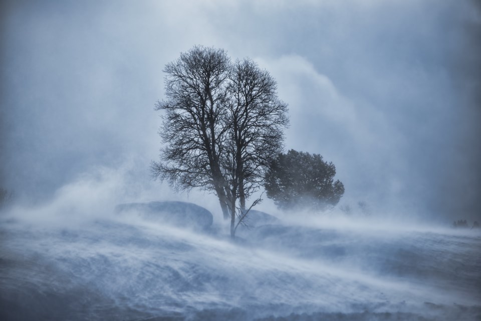
An approaching low pressure system will bring snowfall to the area beginning early Saturday morning. Total snowfall amounts of 15 to 20 cm are expected. Strong winds up to 60 km/h will create areas of local blowing snow. A brief period of rain is possible late Saturday. The snow or rain will ease to flurries overnight Saturday night.
In addition, lake effect snow is also expected to begin behind this system, which will create more snow for areas near Lake Huron and Georgian Bay.
Visibilities will be reduced in areas of blowing snow, which can make travel hazardous. Be prepared to adjust your driving with changing road conditions.
Please continue to monitor alerts and forecasts issued by Environment Canada. To report severe weather, send an email to [email protected] or tweet reports using #ONStorm.
******************

