York Region currently operates 40 red light cameras in high-traffic intersections in its nine municipalities, with 15 more to be added by 2026.
The cameras are helping to reduce right-angle and turning movement collisions by approximately 50 per cent, according to a regional report.
Expansion of the program would add five more cameras to select intersections each year between 2023 and 2026.
After a successful two-year pilot project, regional council also approved the continued use of automated speed enforcement and is expanding the program by adding two more mobile cameras by 2024 and 60 fixed cameras by 2026.
The pilot has one mobile automated speed enforcement camera rotating among 12 community safety zones, covering 19 schools including Newmarket High School, resulting in an improvement in speed compliance by more than 35 per cent.
The estimated cost in 2023 to operate three automated speed enforcement mobile cameras and 40 red light cameras is approximately $2 million per year.
The cost will increase by approximately $5 million each year with a total of 60 additional fixed cameras and 15 additional red light cameras between 2024 and 2026.
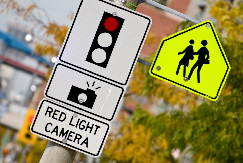
Here's where the 40 red light cameras are in York Region.
Newmarket
- Davis Drive and Ashton Road / Carlson Drive
- Bayview Avenue and Mulock Drive
Aurora
- Wellington Street West / Wellington Street East and Yonge Street
- Bathurst Street and 18th Sideroad/St. John's Sideroad
East Gwillimbury
- Green Lane East and Leslie Street
- Davis Drive and Woodbine Avenue
- Green Lane East and Main Street North / 2nd Concession
Georgina
- The Queensway South and Metro Road South / Morton Avenue
- Ravenshoe Road and Warden Avenue
- Woodbine Avenue and Ravenshoe Road
King
- Bathurst Street and King Road
- Dufferin Street and King Road
- Keele Street and King Road
Whitchurch-Stouffville
- Bloomington Road and Woodbine Avenue
- Bloomington Road and Ninth Line
- Bloomington Road and Kennedy Road
Richmond Hill
- Highway 7 and Yonge Street connecting road
- Highway 7 and Bathurst Street Connecting Road
- Bayview Avenue and Crosby Avenue/Redstone Road
- Elgin Mills Road and Enford Road / Yorkland Street
- Stouffville Road and Bayview Avenue
- Yonge Street and Jefferson Forest Drive / Tower Hill Road
- Highway 7 and Red Maple Road
Markham
- 14th Avenue and Birchmount Road
- Warden Avenue and Carlton Road / Baycliffe Road
- Woodbine Avenue and 16th Avenue
- Woodbine Avenue and Steelcase Road
- Warden Avenue and 14th Avenue
Vaughan
- Highway 27 and Langstaff Road
- Highway 7 and Vaughan Valley Boulevard / Roybridge Gate
- Highway 7 and Islington Avenue
- Keele Street and Doney Crescent / Jardin Drive
- Keele Street and Kirby Road
- Pine Valley Drive and Willis Road / Chancellor Drive
- Rutherford Road and Sweetriver Boulevard
- Weston Road and Rowntree Dairy Road / Colossus Drive
- Weston Road and Rutherford Road
- Highway 7 and Weston Road
- Highway 7 and Jane Street
- Islington Avenue and Rutherford Road
