WEATHER ALERTS
ENVIRONMENT CANADA
************************
Snow squall watch in effect for:
• Newmarket - Georgina - Northern York Region
Snow squalls likely tonight into early Friday morning.
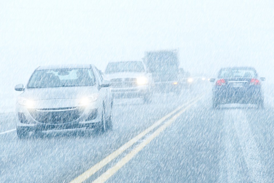
Some light snowfall is expected to affect areas southeast of Georgian Bay today in association with an approaching cold front. The snow should intensify this evening and isolated snow squalls are expected. This is due to winds becoming more northwesterly after the passage of the cold front. Snow squalls will become isolated overnight and Friday morning.
The snow squall activity should weaken late Friday morning.
Some areas may see snowfall accumulations in excess of 15 cm by Friday.
Travel may be hazardous due to sudden changes in the weather. Surfaces such as highways, roads, walkways and parking lots may become difficult to navigate due to accumulating snow.
Snow squall watches are issued when conditions are favourable for the formation of bands of snow that could produce intense accumulating snow or near zero visibilities.
Please continue to monitor alerts and forecasts issued by Environment Canada. To report severe weather, send an email to [email protected] or tweet reports using #ONStorm.
************************


